
Country Vietnam Capital Tân Hưng Province Long An Province Population 41,813 (2003) | Region Mekong Delta Area 536 km² Local time Tuesday 2:50 AM | |
 | ||
Time zone Indochina Time (UTC+07:00) Weather 28°C, Wind SW at 6 km/h, 73% Humidity | ||
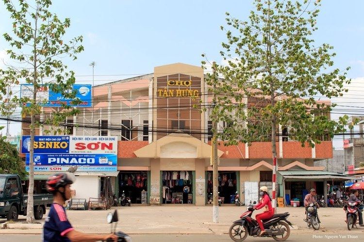
Tân Hưng is a rural district (huyện) of Long An Province in the Mekong Delta region of Vietnam.
Contents
Map of T%C3%A2n H%C6%B0ng, Long An Province, Vietnam
Divisions
The district is divided into communes:
- Vĩnh Đại
- Vĩnh Châu A
- Vĩnh Châu B
- Vĩnh Lợi
- Vĩnh Thạnh
- Thạnh Hưng
- Hưng Thạnh
- Hưng Hà
- Hưng Điền
- Hưng Điền B
As of 2003 the district had a population of 41,813. The district covers an area of 536 km². The district capital lies at Tân Hưng.
References
Tân Hưng District Wikipedia(Text) CC BY-SA