
Local time Tuesday 5:01 AM | Elevation 42 m | |
 | ||
Weather 4°C, Wind S at 5 km/h, 97% Humidity | ||
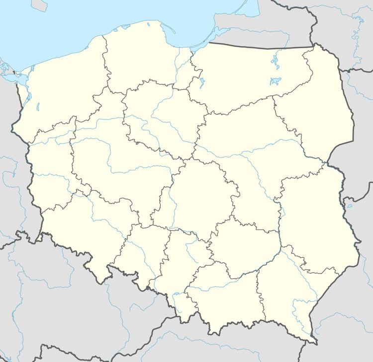
Szklana Huta [ˈʂklana ˈxuta] is a settlement in the administrative district of Gmina Choczewo, within Wejherowo County, Pomeranian Voivodeship, in northern Poland. It lies approximately 7 kilometres (4 mi) north of Choczewo, 33 km (21 mi) north-west of Wejherowo, and 69 km (43 mi) north-west of the regional capital Gdańsk.
Map of Szklana Huta, Poland
For details of the history of the region, see History of Pomerania.
References
Szklana Huta, Wejherowo County Wikipedia(Text) CC BY-SA