
Local time Monday 5:35 PM | ||
 | ||
Weather 15°C, Wind S at 14 km/h, 83% Humidity | ||
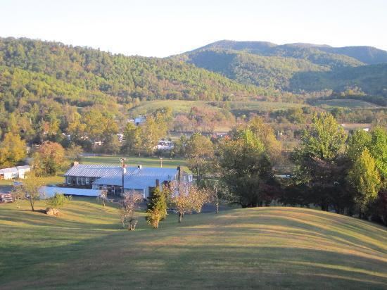
Syria is an unincorporated community in Madison County, Virginia, United States. It lies along the Old Blue Ridge Turnpike (State Route 670), adjoining the southeast border of the Shenandoah National Park. Its ZIP Code is 22743.
Contents
Map of Syria, VA 22727, USA
Climate
The climate in this area is characterized by hot, humid summers and generally mild to cool winters. According to the Köppen Climate Classification system, Syria has a humid subtropical climate, abbreviated "Cfa" on climate maps.
References
Syria, Virginia Wikipedia(Text) CC BY-SA