
Height 44 m (144 ft) Address 83676 Jachenau, Germany Opened 1959 | Opening date 1959 Length 180 m (591 ft) Area 6.6 km² Construction began 1954 | |
 | ||
Dam volume 1 hm (35,000,000 cu ft) Similar Walchensee, Kochelsee, Alps, Karwendel, Achen Pass | ||
Rehabilitation of sylvenstein dam bauer spezialtiefbau gmbh
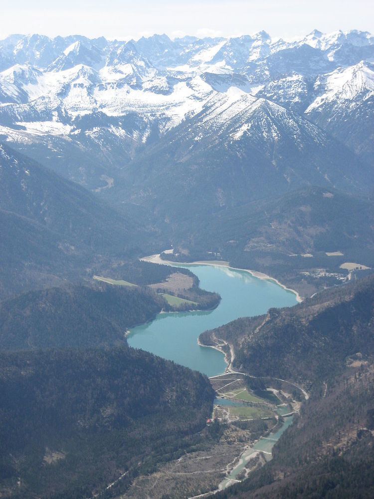
Sylvenstein Dam is an earthen embankment dam in the Isar valley, in the alpine part of Upper Bavaria, Germany which impounds the Sylvenstein Reservoir (German: Sylvensteinspeicher).
Several hydropower plants were built in the tributary of the upper Isar river in the 1920s, for example at the Achensee and Lake Walchen Power Plant. Therefore, the river ran nearly dry during the dry season. This mainly affected the town of Bad Tölz. A reservoir was established to ensure a minimum level of water in the river. During the dry season a volumetric flow of 4 cubic metres per second is released to prevent the Isar from running dry. Additionally, the reservoir provides flood control for the Isar river between Bad Tölz and Munich.
The dam is 44 metres (144 ft) high and has a length of 180 metres (590 ft). It was built between 1954 and 1959. From 1959 on, the water was also used to drive a hydropower plant of 3.2 MW. The plant was upgraded in 2000 with new turbines to generate 3.8 MW.
During the 2005 European floods, because the maximum capacity of the reservoir was reached, more water than normal had to be released into the Isar river, but the flooding would have been more severe if the Sylvenstein Dam had not been present.