
Country Ukraine Population 0,833 Local time Monday 10:27 AM | Elevation 744 m (2,441 ft) Area 110 ha | |
 | ||
Weather 11°C, Wind N at 5 km/h, 63% Humidity | ||
Syhlovate (Ukrainian: Сиглова́те, Polish: Syhłowate) — village (selo) in Turka Raion, Lviv Oblast, of Western Ukraine, deep in the Carpathians. The village is located high in the mountains, the average height — 744 metres (2,440 ft) above sea level.
Contents
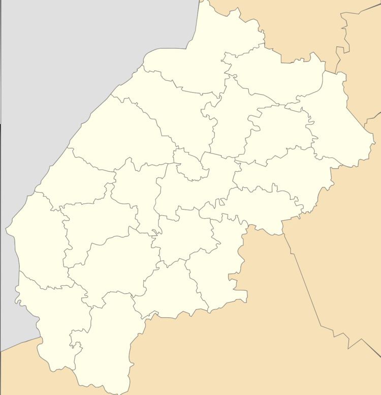
Map of Syhlovate, Lvivska, Ukraine
The village is distant from the city of Lviv at 183 kilometres (114 mi), 31 kilometres (19 mi) from Turka, and 150 kilometres (93 mi) from Uzhhorod.
Local government — Bitlianska village council. Residents of the village are engaged in agriculture and forestry.
In the village there is a church the Transfiguration of our Lord Jesus Christ. Also, the village has a school, forestry, bakery, workshop for furniture.
History
The first mention of villages Syhlovate in historical documents refers to 1580.
References
Syhlovate Wikipedia(Text) CC BY-SA