
Basin area 140 km² | Mouth elevation 0 | |
 | ||
- left Crawleys Creek, Barachois Creek - right Meadows Brook, Muggah Creek | ||
A bit of sydney and sydney river nova scotia
The Sydney River is a short river located in Cape Breton County, Nova Scotia, Canada. Historically, it was also referred to as the Spanish River from the 18th century French name for its estuary, Baie d’Espagnols. It separates the community of Coxheath, on the north bank of the river, from Howie Centre and Sydney River, Nova Scotia.
Contents
- A bit of sydney and sydney river nova scotia
- Map of Sydney River NS Canada
- Mynews hugh smoke cloud from car fire near sydney river n s
- References
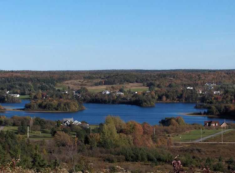
Map of Sydney River, NS, Canada
Sydney River rises in Blacketts Lake and runs 7 km (4.3 mi) to its mouth at South Arm of Sydney Harbour, draining a watershed of 140 km2 south of the crest of the Coxheath Hills. The river is an estuary for the last 4.5 km (2.8 mi) below the "Sysco Dam" in the community of Sydney River. The dam was constructed in 1902, converting the stretch of river immediately above the dam from a tidal estuary to a freshwater reservoir lake. Its watershed contains more than 2000 homes.
The Sydney River valley is glacial with thick deposits, kames, eskers and outwash gravels creating a series of shallow lakes connected by narrow channels. This low valley was a traditional canoe portage used by the Mi'kmaq for travelling between Sydney Harbour and the East Bay of Bras d'Or Lake. The river is one of only two Canadian watersheds with a known population of the yellow lampmussel. The lampmussel is found above the dam constructed in 1902, which increased the area of freshwater habitat suitable for lampmussel in the watershed.