
Time zone CST (UTC-6) Elevation 268 m Local time Monday 12:08 AM | Established November 6, 1849 ZIP codes 60135, 60145, 60178 Area 89.4 km² Population 14,425 (2010) | |
 | ||
Weather 9°C, Wind E at 13 km/h, 80% Humidity | ||
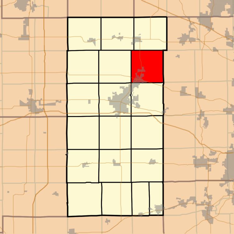
Sycamore Township is one of nineteen townships in DeKalb County, Illinois, USA. As of the 2010 census, its population was 14,425 and it contained 5,855 housing units.
Contents
- Map of Sycamore Township IL USA
- Geography
- Cities towns villages
- Unincorporated towns
- Cemeteries
- Airports and landing strips
- School districts
- Political districts
- References
Map of Sycamore Township, IL, USA
Geography
According to the 2010 census, the township has a total area of 34.5 square miles (89 km2), of which 34.24 square miles (88.7 km2) (or 99.25%) is land and 0.26 square miles (0.67 km2) (or 0.75%) is water.
Cities, towns, villages
Unincorporated towns
(This list is based on USGS data and may include former settlements.)
Cemeteries
The township contains these four cemeteries: Barron, Charter Grove, Elmwood and Mount Carmel Sycamore.
Airports and landing strips
School districts
Political districts
References
Sycamore Township, DeKalb County, Illinois Wikipedia(Text) CC BY-SA