
Max depth 33 m Length 3.2 km Year built 7 April 1888 | Primary inflows Basin countries United States Area 3.885 km² Inflow source Sweetwater River | |
 | ||
Catchment area 182 square miles (470 km) Similar Sweetwater Dam, Sweetwater Summit Regional, Lower Otay Reservoir, Loveland Dam, Lake Hodges | ||
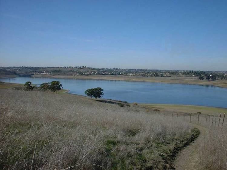
Sweetwater reservoir san diego ca may 2016
Sweetwater Reservoir is a 960-acre (390 ha) artificial lake in San Diego County, California, formed by the Sweetwater Dam on the Sweetwater River. Construction of the dam was completed in 1888.
Contents
- Sweetwater reservoir san diego ca may 2016
- Map of Sweetwater Reservoir California USA
- San diego sweetwater reservoir from drone dji mavic pro
- EnvironmentEdit
- References
Map of Sweetwater Reservoir, California, USA
San diego sweetwater reservoir from drone dji mavic pro
EnvironmentEdit
The area surrounding the reservoir is home to several species, including least Bell's vireo and the California gnatcatcher. It lies near the census-designated places of Bonita, La Presa and Spring Valley. The drainage basin it forms along with Loveland Reservoir covers 230 square miles (600 km2).
References
Sweetwater Reservoir Wikipedia(Text) CC BY-SA