
Postal code (street) 6210 Local time Sunday 5:35 AM | Main Place Port Elizabeth PO box 6209 Area code 041 | |
 | ||
Weather 15°C, Wind N at 3 km/h, 92% Humidity | ||
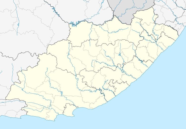
Swartkops is a town in Nelson Mandela Bay in the Eastern Cape province of South Africa.
Map of Swartkops, Port Elizabeth, 6210, South Africa
The town is on the Swartkops River, 11 km north of Port Elizabeth and 1,6 km from the Indian Ocean. Swartkops means "black hills" in Afrikaans, and the name is said to refer to surrounding hillocks crested with dark shadows.
A railway junction was built here by the Cape Government Railways in 1872, to service the lines being constructed to Grahamstown and Alicedale in the east, Port Elizabeth to the south, and Uitenhage to the west.
References
Swartkops Wikipedia(Text) CC BY-SA