
Settlements 39 Postal code 18360 Local time Sunday 1:42 AM | Time zone CET (UTC+1) Area 497 km² | |
 | ||
Weather 13°C, Wind E at 24 km/h, 28% Humidity | ||
Svrljig (Serbian Cyrillic: Сврљиг, [sʋř̩ʎiːɡ]) is a town and municipality located in the Nišava District of the southern Serbia. According to 2011 census, the town has a population of 7,543 inhabitants, while the municipality has 14,224.
Contents
- Map of Svrljig Serbia
- Geography
- Settlements
- Middle Ages
- Early modern period
- Modern
- Demographics
- Anthropology
- References
Map of Svrljig, Serbia
Geography
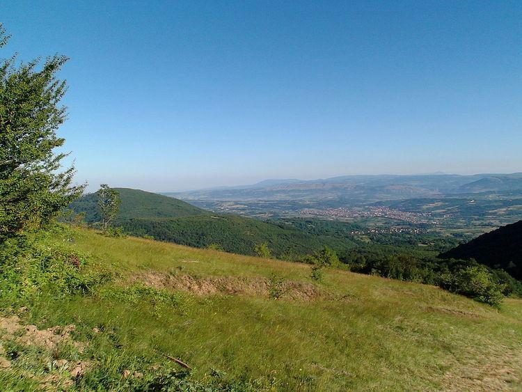
Svrljig is situated on the river Svrljiški Timok, 30 km east from Niš, the biggest city in south Serbia. Nearby villages include Crnoljevica and Prekonoga.
Settlements
Aside from the town of Svrljig, the municipality includes the following settlements:
Middle Ages
Svrljig was the name of a župa (county) in the Middle Ages. It is mentioned (for the first time) in the geographical list of counties and cities in the 1019–20 charters of Byzantine Emperor Basil II. The settlement and its surrounding region is mentioned as part of the Eparchy of Niš. In 1183, Svrljig and other nearby fortifications were taken over by Serbian Grand Prince Stefan Nemanja. The fortification mostly dates to the medieval Serbian period. It was situated on the road which connected Niš with the road to Constantinople. A evangelion manuscript written in Svrljig in the Serbian redaction of Old Slavic dating to 1279 is preserved in fragments. After the fall of Braničevo under the Serbian king Stefan Milutin in 1290s Svrljig became a border region. Svrljig was conquered and plundered in 1413 by Ottoman prince Musa Çelebi. It was then part of Stefan Lazarević's Serbian Despotate.
Early modern period
The town was known as Isferlik and Isfirlig in Ottoman Turkish. It was administratively part of the Sanjak of Vidin.
Modern
During the Toplica Uprising (1917), Serbian guerrilla bands were active in the region.
In 1922, the Niš–Svrljig–Knjaževac–Zaječar highway was built.
From 1929 to 1941, Svrljig was part of the Morava Banovina of the Kingdom of Yugoslavia.
During World War II, Yugoslav Partisans were active in the region.
Demographics
Ethnic groups in the municipality (2002 census):
Anthropology
An anthropological study by Mihailo Kostić claimed that the Svrljig province was inhabited by mostly an "olden" population, while part descends from "colonists from the second half of the 15th century". According to Petar Vlahović, Svrljig is part of the Serbian Šopi ethnographical region.