
Area 9.41 km² | Local time Sunday 1:48 AM | |
 | ||
Weather 5°C, Wind E at 11 km/h, 77% Humidity | ||
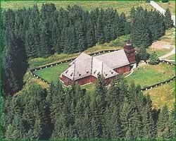
Svätý Kríž (Hungarian: Szentkereszt (Szent Kereszt), Liptószentkereszt), is a village and municipality in Liptovský Mikuláš District in the Žilina Region of northern Slovakia.
Contents
Map of 032 11 Sv%C3%A4t%C3%BD Kr%C3%AD%C5%BE, Slovakia
History
In historical records the village was first mentioned in 1277.
Geography
The municipality lies at an altitude of 630 metres and covers an area of 9.413 km². It has a population of about 687 people.
References
Svätý Kríž Wikipedia(Text) CC BY-SA