
Population 200 Civil parish Sutton Waldron Local time Saturday 6:45 PM | OS grid reference ST862158 Sovereign state United Kingdom | |
 | ||
Weather 11°C, Wind W at 11 km/h, 84% Humidity | ||
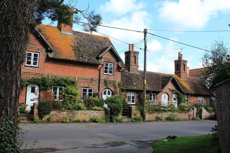
Sutton Waldron is a village and civil parish in north Dorset, England, situated on the A350 road between Iwerne Minster and Fontmell Magna, in the Blackmore Vale under the scarp of Cranborne Chase, 8 miles (13 km) north of Blandford Forum and 5 miles (8.0 km) south of Shaftesbury. In the 2011 census the parish had 93 dwellings, 87 households and a population of 200.
Map of Sutton Waldron, Blandford Forum, UK
The parish covers about 1,300 acres (530 ha) in a strip of land that, from west to east, is composed of Kimmeridge clay, Lower Greensand, Gault Clay, Upper Greensand and chalk.
In 1086 in the Domesday Book Sutton Waldron was recorded as Sudtone; it had 24 households, one mill, six ploughlands, 6 acres (2.4 ha) of meadow and 40 acres (16 ha) of woodland. It was in the hundred of Gillingham and the lord and tenant-in-chief was Waleran the hunter.
The parish church dates from 1847 and is constructed in the Decorated Gothic style.