
River mouth Sava135 m (443 ft) Length 89 km Source Macelj Bridges Miljana Border Bridge | Main source 580 m (1,900 ft) Basin size 584 km (225 sq mi) Source elevation 580 m | |
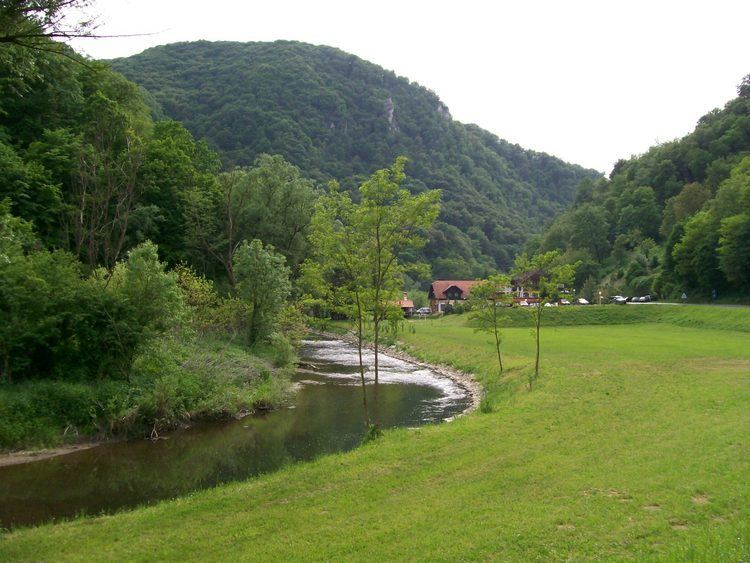 | ||
The Sutla (Croatian) or Sotla (Slovene) is a river flowing through Slovenia and Croatia, mostly forming their border. It is a tributary to the Sava, itself a tributary to the Danube. It is 89 kilometres (55 mi) long and has a watershed area of 584 square kilometres (225 sq mi).
The Sutla flows through the following municipalities:
The hydrological parameters of the Sutla are regularly monitored in Croatia at Zelenjak.
The division of the Sutla/Sotla basin area between Croatia and Slovenia is inconsistent in sources - Croatian sources claim either 343 km2 (132 sq mi) or 455 km2 (176 sq mi), while Slovenian sources claim either 477 km2 (184 sq mi) or 451 km2 (174 sq mi)
The Kozje Park (Slovene: Kozjanski park), established in 1981 as the Trebče Memorial Park (Spominski park Trebče), is located in the Slovenian territory to the west of the Sotla. It covers 206 km2 (80 sq mi) of the landscape of Kozje Hills (Kozjansko hribovje), including wetlands along the Sotla. It is the habitat of over 120 bird species and of about 950 higher plant species.