
Designation Long-distance footpath Trail difficulty Easy Use Hiking | Elevation change 3,130 m (10,270 ft) Length 273,000 m | |
 | ||
Location South Eastern England, United Kingdom Trailheads Thorney Island, West Sussex
Rye, East Sussex Highest point Blackdown, 280 m (920 ft) | ||
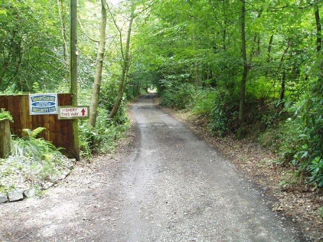
Sussex border path rowlands castle to petersfield 10 august 2013
The Sussex Border Path is a long-distance footpath in southern England that connects Thorney Island to Rye. The main path is 222 km (138 mi) long, with an additional 33 mi (53 km) spur known as the Mid Sussex Path which links Weir Wood Reservoir with Mile Oak in the city of Brighton and Hove.
Contents
- Sussex border path rowlands castle to petersfield 10 august 2013
- Time lapse of sussex border path section 1 emsworth to rowlands castle 19 8 12
- References
The footpath uses existing rights of way to follow the Sussex county border and is waymarked.
Time lapse of sussex border path section 1 emsworth to rowlands castle 19 8 12
References
Sussex Border Path Wikipedia(Text) CC BY-SA