
Canton Vailly-sur-Sauldre Area 31.9 km² Population 315 (1999) | Intercommunality Cœur du Pays Fort Local time Saturday 2:43 PM | |
 | ||
Weather 15°C, Wind SW at 13 km/h, 54% Humidity | ||
Sury-ès-Bois is a commune in the Cher department in the Centre region of France.
Contents
Map of 18260 Sury-%C3%A8s-Bois, France
Geography
A large farming area comprising the village and several hamlets situated at the border with the department of Loiret about 32 miles (51 km) northeast of Bourges at the junction of the D13, D926 and the D74 roads. The commune’s territory is the source of several small rivers.
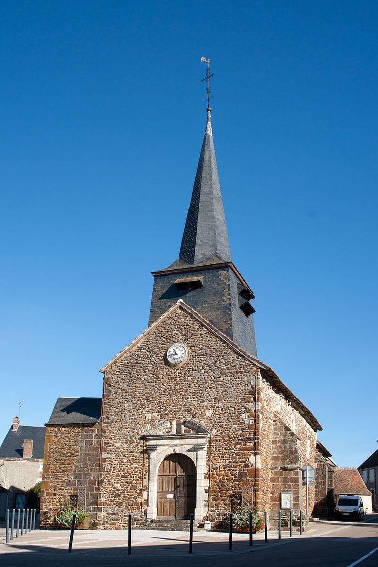
Sights
References
Sury-ès-Bois Wikipedia(Text) CC BY-SA