
Country Switzerland Area 1,374 km² Capital Ilanz Canton Canton of Graubünden | Time zone CET (UTC+1) Population 21,325 (Dec 2015) Municipalities 21 | |
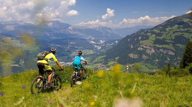 | ||
Points of interest Ruinaulta, Piz Mundaun, Greina, Zervreilasee, Vorab Glacier Destinations Laax, Disentis, Vals, Falera, Tujetsch | ||
Surselva District (Romansh: District da la Surselva ) is a former administrative district in the canton of the Grisons, Switzerland. It had an area of 1,373.39 km2 (530.27 sq mi) and a population of 21,325 in 2015. The district's name derives from the name of the Vorderrein/Rein Anteriur's valley, namely the Surselva (excluding the side valleys). It was replaced with the Surselva Region on 1 January 2017 as part of a reorganization of the Canton.
Contents
- Map of Surselva District Switzerland
- Geography
- Mergers and name changes
- Languages
- Sub division Kreis
- References
Map of Surselva District, Switzerland
Geography
The Surselva District encompasses the valley of the Vorderrhein/Rein Anteriur (the Surselva) and all its side valleys, from the source near the Oberalp Pass all the way down towards Reichenau (where the Vorderrhein joins the Hinterrhein/Rein Posteriur to form the Rhine). The district ends before that confluence at the huge forest on the giant debris of Flims Rockslide that is responsible for the name of the region: The debris area lack of water and soil and were ever left as a big forest as it was useless for farming. This forest (romonsch: silva) is the border for "Sur-silva" (meaning "above the forest").
The Surselva is one of the few areas in Switzerland that is mainly Romansh-speaking (another notable valley being the Engadine, the valley of the Inn). There are a few German-speaking communities in the Surselva, e.g. Disentis/Mustér, with its Benedictine monastery, which dates back to 720, Obersaxen and Vals, which were founded in the thirteenth century by the Walser.
Mergers and name changes
On 1 January 2015 the former municipality of St. Martin merged into the municipality of Vals.
Languages
Romansh is the predominant language in the district, most of which speak the Sursilvan dialect. There is a large German-speaking minority in Surselva, notably the Walser settlements of Obersaxen and Vals. However, the percentage of Romansh-speakers is on the decline. Traditional Romansh-speaking cities such as Ilanz are losing ground to German.
A long-distance hike is signposted to follows the main Vorderrhein/Rein Ateriur through the whole Surselva.
Sub division: Kreis
It consists of five Kreise (sub-districts) and forty-three municipalities: