Rahul Sharma (Editor)

Surcamps

Updated on
Edit
Like
Comment
Share on FacebookTweet on TwitterShare on LinkedInShare on Reddit
Country
  
France

Department
  
Somme

Canton
  
Domart-en-Ponthieu

Local time
  
Saturday 8:43 AM

Region
  
Hauts-de-France

Arrondissement
  
Amiens

Area
  
2.97 km²

Surcamps

Intercommunality
  
Val de Nièvre et environs

Weather
  
8°C, Wind S at 10 km/h, 88% Humidity

Surcamps is a commune located in the Somme department, Hauts-de-France, northern France.

Contents

Map of 80620 Surcamps, France

Geography

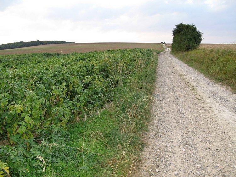
Surcamps is situated 10 miles (16 km) southeast of Amiens, on the D216e road, by the side of the old Roman road, the Chaussée Brunehaut.

Places of interest

  • The nineteenth century church
  • Traces of Gallo-Roman settlements
  • The wood of Coroy, where the well-preserved remains of a Nazi V1 rocket launch site is situated. Built by French prisoners in the summer of 1943, it was bombed 12 times by the Allies from December 1943 until April 1944.
  • References

    Surcamps Wikipedia