
Municipality status 2003 Time zone CET (UTC+1) Area 285 km² Number of airports 1 | Settlements 7 Postal code 11271 Local time Saturday 2:56 PM | |
 | ||
Weather 24°C, Wind SE at 2 km/h, 31% Humidity | ||
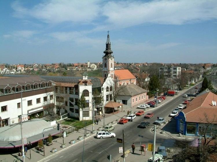
Surčin (Serbian Cyrillic: Сурчин, [sǔrt͡ʃiːn]) is a suburban neighborhood and one of 17 city municipalities which constitute the city of Belgrade, the capital of Serbia. It is the youngest municipality of Belgrade, as it split from the municipality of Zemun in 2003. The municipality has 43,819 inhabitants, according to the 2011 census results. The most important feature is the Belgrade Nikola Tesla Airport, located just a few kilometers west of the town.
Contents
- Map of SurC48Din Serbia
- Geography
- Settlements
- Demographics
- Ethnic groups
- History and administration
- Administration
- Economy
- References
Map of Sur%C4%8Din, Serbia
Geography
Surčin is located in the eastern Syrmia region, 20 kilometers west of downtown Belgrade. It borders the municipalities of Zemun (north) and Novi Beograd (east). The western border of the municipality is the administrative border of the province of Vojvodina, while the Sava river forms the border to the municipalities of Čukarica (south-east) and Obrenovac (south).
The area of the municipality is flat and marshy as the entire southern section belongs to the floodplain of the Sava. Numerous smaller streams (mostly channeled) flow through the municipality, most notably the Galovica and Jarčina. Other distinct geographical features are the ponds of Fenek and Živača, a large woody area of Bojčin (Serbian: Bojčinska šuma) and Progarska ada, one of the largest islands in the Sava.
Surčin lies just south of the Belgrade–Zagreb highway, on the Belgrade beltway which is expected to allow heavy traffic from the Belgrade's urban core to move directly to the city's southern outskirts (for now, it is the only European capital with a highway going through it). The Syrmian section of the beltway (which separates from the highway at Dobanovci, then goes to Surčin–Jakovo–Ostružnica) is already built and operational. A local Belgrade freight railway runs parallel to the beltway.
Settlements
Urban (towns):
Rural (villages):
Demographics
According to the 2011 census results, the municipality of Surčin has a population of 43,819 inhabitants. Though in the past the municipality had no urban connection with Belgrade on the east, that is, Novi Beograd's westernmost neighborhood of Ledine connected it to the city, an urban zone has developed along that road, turning Belgrade and Surčin into one continuous built-up area. Similar developments surround Surčin which, with the growth of population, grows into a single urban area with Dobanovci (north), Jakovo (south) and Bečmen (west).
Ethnic groups
The municipality of Surčin has Serb ethnic majority, followed by Romani, Slovaks, Croats and other ethnic groups. The ethnic composition of the municipality:
History and administration
The area of the town has been settled since prehistoric times, and archaeological findings from ancient eras are common. So far, it is established that previous settlements existed in the Stone Age, Neolithic, Bronze Age, and Roman era.
From 1991 to 2002, the population of the municipality grew from 35,591 to 38,695. Most of that growth came from the refugees from Yugoslav Wars (mostly Croatia and Bosnia and Herzegovina). Since many of the refugees were integrated into the Serbian citizenship after 2002, it is to be expected that the official population has grown significantly.
Surčin was the seat of its own municipality until 1965 when it was annexed to the municipality of Zemun (prior to that, municipalities of Boljevci and Dobanovci were annexed to the municipality of Surčin). A movement for splitting from Zemun has been very vocal since the 1990s and though it did not fulfill some of the conditions required by the Belgrade City statute for creation of a new municipality (mainly, a population of over 50,000), Belgrade City assembly voted to detach Surčin from Zemun officially on November 24, 2003. The newly-formed municipality remained under the administration of the municipality of Zemun until the next municipal elections and finally got its own administration on November 3, 2004. However, municipal administration and the overall political situation in Surčin has been highly unstable ever since.
Administration
Former presidents of the municipality of Surčin are:
Economy
The majority of the population works in agriculture. Extensive farms for pig breeding are located in Surčin itself while in the smaller settlements the production is mostly for the Belgrade market, growing fruits and early vegetables.
The most important facility is the Belgrade Nikola Tesla airport, opened on April 28, 1962, replacing the old one in Bežanija. The new and modern airport put the small village on the map. The aeronautics museum is also located in the airport complex.