
OS grid reference SP507098 Sovereign state United Kingdom Dialling code 01865 | Civil parish unparished | |
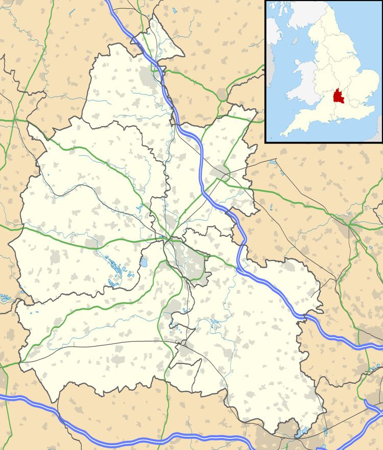 | ||
Sunnymead is a suburb in the northern part of Oxford, England, just south of the Oxford Ring Road (A40). Close by are the suburbs of Cutteslowe to the north, Summertown to the south and Upper Wolvercote to the west. To the east is the River Cherwell, which flows south towards central Oxford.
Map of Sunnymead, Oxford, UK
References
Sunnymead Wikipedia(Text) CC BY-SA