
Airport type Public 17/35 5,000 1,524 Asphalt Serves Gallatin | Elevation AMSL 583 ft / 177 m 5,000 1,524 Phone +1 615-452-7248 | |
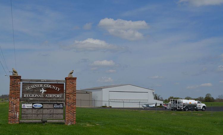 | ||
Owner Sumner County Regional Airport Authority Address 1475 Airport Rd, Gallatin, TN 37066, USA Similar GTO Aviation, Nashville Internatio Airport, Portland Municipal Airport, Smyrna/R County Airport Au | ||
Touch and go at m33 sumner county regional airport
Sumner County Regional Airport (FAA LID: M33) is a city-owned public-use airport located two nautical miles (4 km) east of the central business district of Gallatin, a city in Sumner County, Tennessee, United States. This airport is included in the National Plan of Integrated Airport Systems for 2011–2015, which categorized it as a general aviation airport.
Contents
Facilities and aircraft
Sumner County Regional Airport covers an area of 332 acres (134 ha) at an elevation of 583 feet (179 m) above mean sea level. It has one runway: 17/35 is 5,000 by 100 feet (1,524 x 30 m) with an asphalt pavement.
For the 12-month period ending June 8, 2012, the airport had 33,750 aircraft operations, an average of 29 per day: 95% general aviation, 4% air taxi, and <1% military. At that time there were 59 aircraft based at this airport: 81% single-engine, 8% multi-engine, 6% jet, 1% helicopter, and 1% ultralight.