Topo map USGS Summit, MT Prominence 259 m | Elevation 2,673 m | |
 | ||
Similar Grizzly Mountain, Mount Rockwell, Mount Logan, Bishops Cap, Pyramid Peak | ||
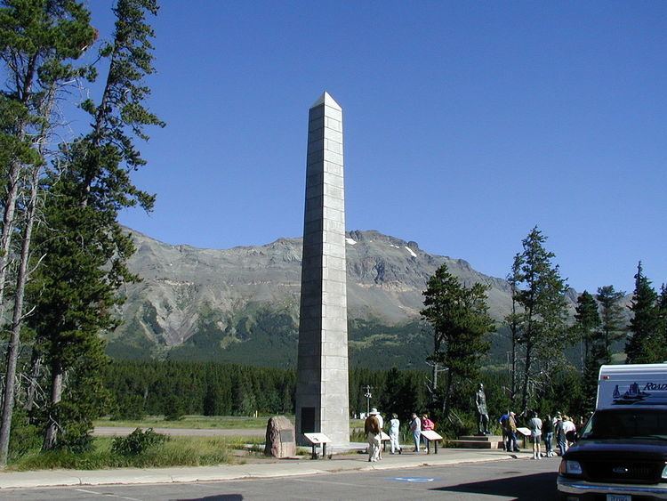
Summit Mountain (8,770 feet (2,673 m)) is located in the Lewis Range, Glacier National Park in the U.S. state of Montana. Summit Mountain towers to the north of Marias Pass and is situated along the Continental Divide.
Map of Summit Mountain, Montana 59936, USA
References
Summit Mountain (Glacier National Park) Wikipedia(Text) CC BY-SA
