
Country United States Time zone Eastern (EST) (UTC-5) Elevation 573 m Population 3,541 (2013) | Founded 1824 Area code(s) 304, 681 Zip code 26651 Local time Friday 2:45 AM | |
 | ||
Weather 14°C, Wind SE at 23 km/h, 71% Humidity Area 11.03 km² (10.93 km² Land / 10 ha Water) | ||
Summersville is a city in Nicholas County, West Virginia, USA. The population was 3,572 at the 2010 census. It is the county seat of Nicholas County.
Contents
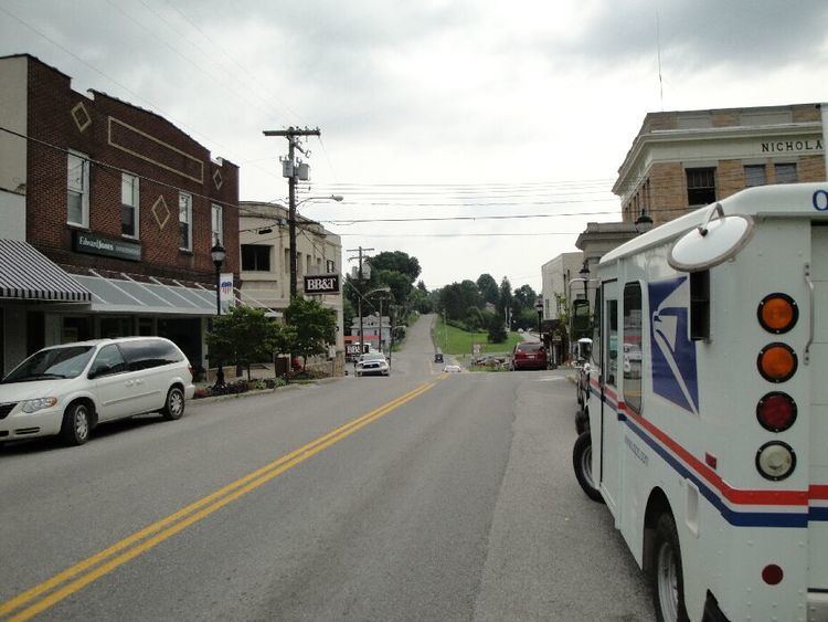
Map of Summersville, WV 26651, USA
History
Summersville was laid out in 1824. The city was named for Lewis Summers, a local judge.
Summersville is home to the annual Potato Festival.
Geography
Summersville is located at 38°17′0″N 80°50′39″W (38.283342, -80.844207). It is located just north of the Gauley River which is famous for its challenging whitewater. The river is impounded by a large dam which creates Summersville Lake, creating flatwater recreation as well.
According to the United States Census Bureau, the town has a total area of 4.26 square miles (11.03 km2), of which, 4.22 square miles (10.93 km2) is land and 0.04 square miles (0.10 km2) is water.
Climate
The climate in this area has mild differences between highs and lows, and there is adequate rainfall year round. According to the Köppen Climate Classification system, Summersville has a marine west coast climate, abbreviated "Cfb" on climate maps.
Demographics
The median income for a household in the town was $29,783, and the median income for a family was $43,314. Males had a median income of $33,633 versus $22,348 for females. The per capita income for the town was $23,217. About 6.9% of families and 12.7% of the population were below the poverty line, including 8.1% of those under age 18 and 11.2% of those age 65 or over.
2010 census
As of the census of 2010, there were 3,572 people, 1,640 households, and 974 families residing in the town. The population density was 846.4 inhabitants per square mile (326.8/km2). There were 1,761 housing units at an average density of 417.3 per square mile (161.1/km2). The racial makeup of the town was 97.4% White, 0.4% African American, 0.3% Native American, 0.9% Asian, 0.3% from other races, and 0.7% from two or more races. Hispanic or Latino of any race were 1.4% of the population.
There were 1,640 households of which 26.3% had children under the age of 18 living with them, 42.1% were married couples living together, 13.6% had a female householder with no husband present, 3.7% had a male householder with no wife present, and 40.6% were non-families. 36.8% of all households were made up of individuals and 14.9% had someone living alone who was 65 years of age or older. The average household size was 2.14 and the average family size was 2.77.
The median age in the town was 43 years. 20.4% of residents were under the age of 18; 7.9% were between the ages of 18 and 24; 24.2% were from 25 to 44; 30.4% were from 45 to 64; and 17.1% were 65 years of age or older. The gender makeup of the town was 46.8% male and 53.2% female.