
Country United States ZIP code 42782 Elevation 245 m Population 568 (2010) | Time zone Central (CST) (UTC-6) FIPS code 21-74604 Area 7.5 km² Local time Friday 1:45 AM | |
 | ||
Weather 14°C, Wind W at 10 km/h, 90% Humidity | ||
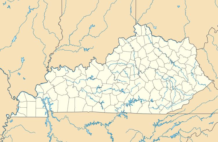
Summersville is a census-designated place (CDP) and unincorporated community in Green County, Kentucky, United States. As of the 2010 census it had a population of 568.
Map of Summersville, KY 42743, USA
It lies along Routes 61 and 323, 6 miles (10 km) northwest of the city of Greensburg, the county seat of Green County. Its elevation is 804 feet (245 m). Although it is unincorporated, it has a post office, with the ZIP code of 42782. Annually in late July the residents host a festival named "Summersville Days".
Summersville was incorporated in 1817.
References
Summersville, Kentucky Wikipedia(Text) CC BY-SA