
Average depth 15.4 m (51 ft) Max depth 47 m Area 3.8 km² | Basin countries Canada Islands 1 Rhys Surface elevation 1,116 m Length 6.5 km | |
 | ||
Max. length 6.5 kilometres (4.0 mi) Surface area 380 hectares (940 acres) | ||
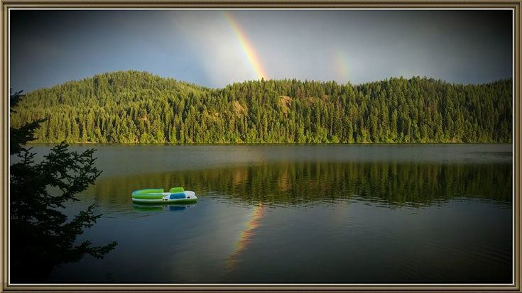
Sulphurous Lake is a freshwater body in the Cariboo Region of British Columbia, generally considered to be part of the Interlakes area as it is near Deka Lake. It is frozen from November to May annually. The lake has only one boat launch, which is in poor condition.
Contents
Map of Sulphurous Lake, Cariboo L, BC, Canada
Fishing
The lake is stocked with Rainbow Trout and Kokanee.
Lake trout daily quota = 1; lake trout release Oct 1-Nov 30 Burbot: 5 Kokanee: 5 (none from streams) Trout/char: 5, but not more than • 1over50cm
Recreation & Community
The lake is the location of the Sulphurous Lake Resort, which has reopened with fresh new owners! The Sulphurous Lake Volunteer Fire Department provides fire protection for the cabin community on the north shore of the lake. The fire department hosts an annual fishing derby on the lake.
History
There was previously a garbage dump located north of the lake on Petty John Road, which is still clearly visible although being reclaimed by nature.
The name Sulphurous (the Canadian spelling of sulfurus) is drawn from yellow pollen seen floating on the lake in the spring by early settlers. The lake contains no more sulphur than surrounding lakes.