
Time zone BST (UTC+6) Area 260.7 km² | Postal code 3000 Local time Friday 7:09 AM | |
 | ||
Weather 23°C, Wind E at 11 km/h, 98% Humidity | ||
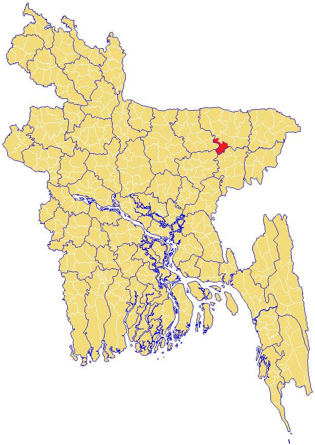
Sullah (Bengali: শাল্লা) or Sulla is an Upazila of Sunamganj District in the Division of Sylhet, Bangladesh.
Contents
Map of Sullah, Bangladesh
Etymology
Sullah is variant of Shah Ullah, which was named after its founder, Shah Ullah. Locally, it is pronounced and written as Shal'lah.
Geography
Sullah is located at 24.6264°N 91.2500°E / 24.6264; 91.2500 . It has 13881 households and total area 260.74 km².
Demographics
As of the 1991 Bangladesh census, Sullah has a population of 89941. Males constitute 51.08% of the population, and females 48.92%. This Upazila's eighteen up population is 43247. Sullah has an average literacy rate of 21.8% (7+ years), and the national average of 32.4% literate. It has a large Hindu population with over 50% of the upazila.
Administration
Sullah has 4 Unions/Wards, 67 Mauzas/Mahallas, and 113 villages.