
Location South East Asia Population 132,070 (2010 Census) Province North Maluku | Largest settlement Sanana Area 9,632 km² Archipelago Maluku Islands | |
 | ||
Major islands Mangole, Sanana and Taliabu Pop. density 13.71 /km (35.51 /sq mi) Islands Taliabu, Sanana Island, Mangole Island, Lifamatola, Seho | ||
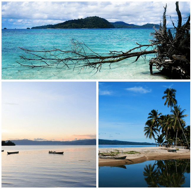
The Sula Islands (Indonesian: Kepulauan Sula) are a group of islands in North Maluku in Indonesia. Its three main islands are Mangole, Sanana (officially Sula Besi or Xulla Besi) and Taliabu, with smaller islands Lifamatola and Seho. Until 2013 the whole group was administered as Sula Archipelago Regency (Kabupaten Kepulauan Sula), with its administrative capital at Sanana on the island of the same name; its area is 9,632.92 km2 and population 132,070 (at the 2010 census). However, in 2013 Taliabu Island was separated from Kepulauan Sula Regency and formed into a new Regency.
Contents
- Map of Kepulauan Sula Regency North Maluku Indonesia
- Sula islands iota
- Administration
- History
- Economy
- Fauna
- References
Map of Kepulauan Sula Regency, North Maluku, Indonesia
Pre-Indonesian Independence saw the Sula Islands also known as the Xulla Islands, with Taliabo as Xulla Taliabo, Sanana as Xulla Bessi, and Mangola as Xulla Mangola.
Sula islands iota
Administration
Following the removal of 7 districts to create a separate Taliabu Island Regency (Pulau Taliabu) in 2013, the residual Sula Archipelago Regency was divided into 12 districts (kecamatan), tabulated below with their 2010 Census population.
History
The Dutch built a fort on Sanana in 1652. Wallace visited the islands during an ornithological expedition in 1862.
Economy
According to government data Sula Islands District's food crops include vegetables, groundnuts, cassava, sweet potatoes, durian, mangosteen and mango. As of 2005 the area of agriculturally active land was 24743.56 hectares with production amounting to 33,608.62 tons per year. Taliabu-Sanana District is the main producer of cloves, nutmeg, cocoa, copra and other coconut products. Fishery production is very diverse with and estimated sustainable potential of 40,273.91 tonnes per year of which only 22.8 percent is currently exploited. Forestry is considered a potential industry with the natural forest-based Classification Map TGHK RTRWP suggesting a forest area of 471,951.53 hectares, but much of this is protected or hard to access, due to steep slopes and transportation logistics, and the islands' main plywood company, PT Barito Pacific Timber Group (in Falabisahaya, West Mangole) has closed. Industrial activity is very limited. There is a gold mine in East Mangoli District (at Waitina and Kawata) and coal mines are located in the peninsula of West Sula Besi District, East Taliabu and Sub Sanana (Wai Village Ipa). Reserves of coal are estimated around 10.4 million tonnes.
Fauna
The following species are native to the Sula Islands:
Introduced species include