
Country India District Darjeeling PIN 734221 Elevation 2,194 m | State West Bengal Time zone IST (UTC+5:30) Telephone code 91 354 | |
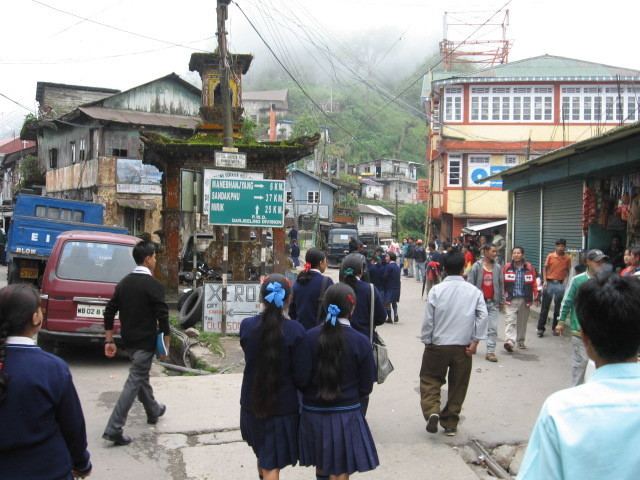 | ||
Sukhiapokhri (Nepali: सुके पोखरी) is a small hilly locality in the Darjeeling district of West Bengal, India. It is located 11 km from Ghum on the way to Mirik.,
Contents
Map of Sukhia Pokhari, West Bengal 734221
Transport
Sukhiapokhri is near Nepal's eastern border with India at Ilam District, Mechi Zone. There is a crossing to Pashupatinagar town with a Nepal customs checkpoint. Indian and Nepalese nationals cross without restriction.
Tourism
Gurashey Forest Resort, near Sukhia Pokhri, is one of the new attractions on the misty heights of the Eastern Himalayas. The entire Kanchenjunga range can be viewed from the resort. At dawn and dusk, the mountains bathed in gold present an unforgettable sight. Surrounded by slopes of silver fir, hemlock and magnolia, Gurashey stands brooding. A pall of gloom seems to hang over the township for most of the year, like the veil of clouds that obscures the Kanchenjunga and other snow-capped titans in the distance. In spring, though, the sparkle of rhododendrons lights up the region. The route to Sukhia Pokhri is via Mirik. Buses ply between Mirik and Darjeeling via Ghoom. It also allows the journey through the green tea estates to be savoured.Sukhia Pokhri is on the road to Manebhanjan from Ghoom. Gurashey Forest Resort, an eco-tourism project, (for booking 03324862313/9830372948) is a three-minute walk from the main market of Sukhia Pokhri. The trail ends on the bank of the Rangit. At 6800ft, Gurashey is a tapestry of nature and people, done up with ferns and orchids. The cottages rest comfortably on the lap of nature, with windows overlooking the mountains. The balconies provide a captivating view of Mim Tea Estate. Those who intends to visit Sandakphu by car, may choose Gurashey instead Mane Bhanjang for better stay. One road from Sukhiapokhri leads to Mane Bhanjang and then on to the trekking tracks to Sandakfu and Falut along the Singalila Ridge.
From Sukhiapokhri one can go to different tea gardens and other small towns or villages in the area. Jorepokhri is the home of the Himalayan salamander (Tylototriton verrucosus), now extinct in most parts of the world. There are several towns/villages on the India-Nepal border – Manebhanjang, Simana, etc. Sukhiapokhri has a police station.
Sandakfu is considered a trekkers’ paradise. The road up to Manebhanjang is jeepable. Trekking into Sandakfu starts from an altitude of 1,524 metres (5,000 feet) and gradually climbs up Falut (meaning peeled summit or denuded peak) at a height of 3,638 metres (11,936 ft) at the trijunction of West Bengal, Sikkim and Nepal. This is normally the end of the trekking route. after passing through forests of rhododendrons, giant magnolias, spruce, other trees of subalpine region and more than 600 varieties of orchids. For those who are interested in flora, the best period to visit is April–May, but for the mountain gazers, the best period is October–November. One has in a single stretch – Everest, Makalu, Lhotse, Kumbhakarna, Kanchenjanga, Jomolhari and other peaks.