
NRHP Reference # 84003230 Local time Thursday 3:39 PM | Area 16 ha Added to NRHP 7 September 1984 | |
 | ||
Location Sugartown, Boot, Spring, Dutton Mill, and Providence Roads, near Malvern, Willistown Township, Pennsylvania Weather 9°C, Wind S at 5 km/h, 39% Humidity | ||
Sugartown is an unincorporated settlement in central Willistown Township, Chester County, Pennsylvania, United States, at the intersection of Sugartown and Boot Roads. It is located 18 miles west of Philadelphia.
Map of Sugartown, Willistown Township, PA 19355, USA
The town was named after Eli Shugart, a 19th-century tavern keeper. Sugartown is a typical crossroads village that provides goods and services to the surrounding farm community. It played an important part in the development of Willistown and contains an inn, general store, blacksmith and wheelwright, cabinetmaker, saddler, shoemaker and a doctor.
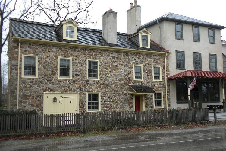
The Sugartown Historic District is a national historic district that encompasses 14 contributing buildings. It includes the Sign of the Spread Eagle tavern (c. 1790), Sugartown Store (c. 1800) and residence (1860), Willistown Township Building (1909), "Coxefield" (c. 1790), Shoemaker's shop (c. 1790), Sugartown School (1866), the Friends school (1782-1783, 1862), and schoolmaster's house (1785).