Prominence 591 ft (180 m) | Mountain type rhyolite dome | |
 | ||
Elevation 9,287 ft (2,831 m) NAVD 88 Topo map USGS Sunset Crater West Volcanic field | ||
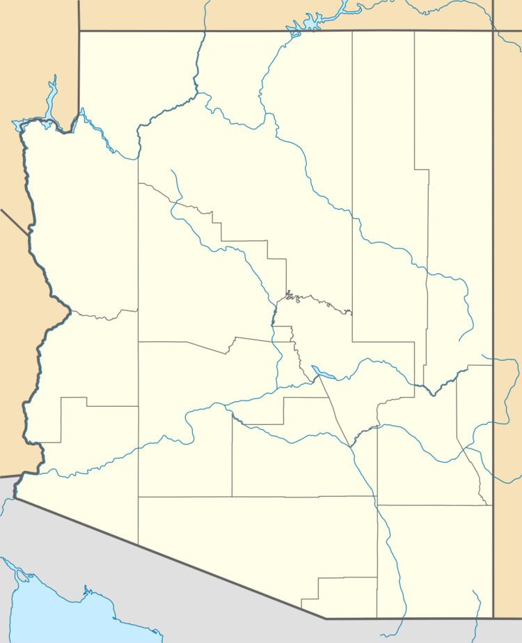
Sugarloaf is a rhyolite dome located just below the San Francisco Peaks in Flagstaff, Arizona. It formed after the sideways eruption of the mountain, which occurred in a similar to the 1980 eruption of Mount St. Helens.
Map of Sugarloaf Mountain - Urca, Rio de Janeiro - State of Rio de Janeiro, Brazil
References
Sugarloaf Peak Wikipedia(Text) CC BY-SA
