
Topo map USGS Riverside East | Elevation 593 m Parent range Box Springs Mountains | |
 | ||
Location | ||
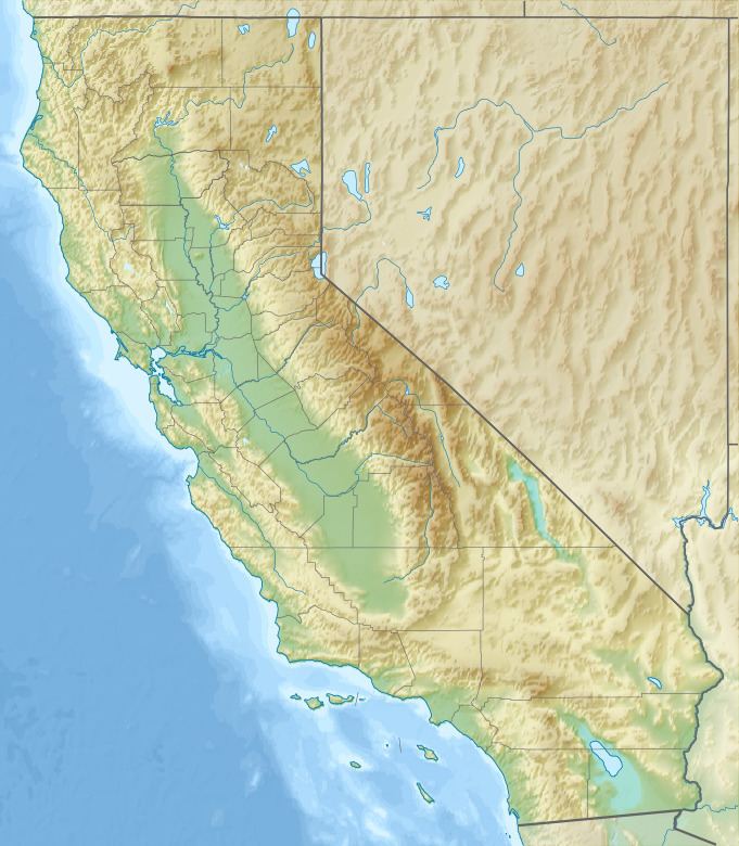
Sugarloaf Mountain is in Riverside County, California, United States, near milepost 82 on Pines to Palms Scenic Byway (SR 74). This mountain was officially named by the USGS and appears on their topographic maps. The summit elevation is approximately 1,947 feet (593 m).
Map of Sugarloaf Mountain, Riverside, CA 92507, USA
References
Sugarloaf Mountain (Riverside County, California) Wikipedia(Text) CC BY-SA