
State Florida | ||
 | ||
Similar Florida Keys, Ramrod Key, Little Torch Key, Saddlebunch Keys, Grassy Key | ||
Sugarloaf key key west koa campground
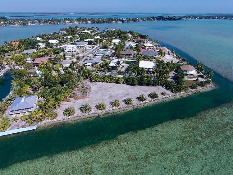
Sugarloaf Key is a single island in the lower Florida Keys that forms a loop on the Atlantic Ocean side giving the illusion of separate islands. Although frequently referred to simply and with technical accuracy as "Sugarloaf Key", this island contains two distinct island communities, known as Lower Sugarloaf Key and Upper Sugarloaf Key.
Contents
- Sugarloaf key key west koa campground
- Map of Sugarloaf Key Florida USA
- HistoryEdit
- GeographyEdit
- EcologyEdit
- CommunityEdit
- TransportationEdit
- References
Map of Sugarloaf Key, Florida, USA
HistoryEdit
The name Sugarloaf, is variously attributed as arising from either an Indian mound on the east side of Upper Sugarloaf Key, north of the present highway was said to look like an old-fashioned loaf of sugar or from the variety of pineapple called "sugarloaf" that was once grown in the area. These pineapples are rarely in commercial use any longer since they are soft and do not travel well.
GeographyEdit
The island is somewhat "U"-shaped, with Upper Sugarloaf Sound and Park Key separating the island into Upper Sugarloaf Key and Lower Sugarloaf Key. So called, upper and lower, simply referencing the relative nature of their geographic positions, not as distinct islands. Lower Sugarloaf Key is located approximately 13 mi (21 km) from Key West, between Park Key and Saddlebunch Keys. Upper Sugarloaf Key is located about 15 mi (24 km) east of Key West, between Park Key and Cudjoe Key. While smaller in land area than Upper Sugarloaf Key, Lower Sugarloaf Key has a greater density of population.
EcologyEdit
Plant species native to the island include buttonwood, poisonwood, sea grape and thatch palm. Of fauna, ibises are found on the island, and dolphins, parrotfish, snapper, barracuda and octopus can be seen in the local waters.
CommunityEdit
Lower Sugarloaf Key has family owned Sugarloaf Lodge and restaurant, an airport, Sugarloaf Volunteer Fire Station, and Sugarloaf Key Bat Tower.
Upper Sugarloaf Key has two public schools, a church, restaurant, commercial offices, public campground and the Great White Heron National Wildlife Refuge.
Covering 14 acres (5.7 ha), Sugarloaf Key has the southernmost KOA campground in North America.
TransportationEdit
U.S. 1 (or the Overseas Highway) crosses Upper Sugarloaf Key at approximately mile markers 19–20.5 and Lower Sugarloaf Key at approximate mile markers 16.5–17.5.
Sugarloaf Key is already part of the Overseas Highway and will soon join other islands of the Florida Keys as part of the Florida Keys Overseas Heritage Trail connecting mainland Florida to Key West via bicycle path(s).