
Time zone CST (UTC-6) Area 94.72 km² Population 6,184 (2010) | Established November 4, 1873 Elevation 147 m Local time Thursday 1:27 PM | |
 | ||
ZIP codes 62216, 62230, 62245, 62293 Weather 19°C, Wind S at 26 km/h, 81% Humidity | ||
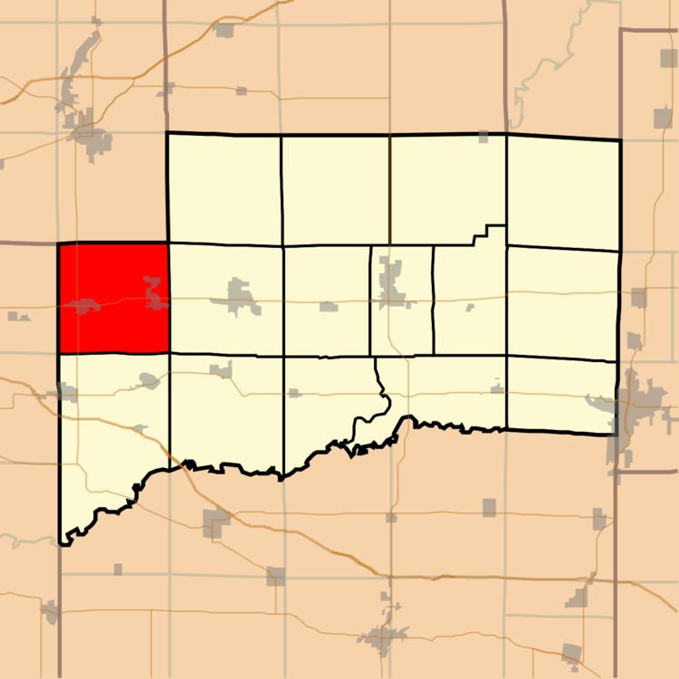
Sugar Creek Township is one of fifteen townships in Clinton County, Illinois, USA. As of the 2010 census, its population was 6,184 and it contained 2,506 housing units. The township's name changed from Trenton Township on June 1, 1874.
Contents
- Map of Sugar Creek Township IL USA
- Geography
- Cities towns villages
- Cemeteries
- Major highways
- Lakes
- Landmarks
- School districts
- Political districts
- References
Map of Sugar Creek Township, IL, USA
Geography
According to the 2010 census, the township has a total area of 36.57 square miles (94.7 km2), of which 36.54 square miles (94.6 km2) (or 99.92%) is land and 0.03 square miles (0.078 km2) (or 0.08%) is water.
Cities, towns, villages
Cemeteries
The township contains these three cemeteries: Saint Francis, Saint Marys and Trenton.
Major highways
Lakes
Landmarks
School districts
Political districts
References
Sugar Creek Township, Clinton County, Illinois Wikipedia(Text) CC BY-SA