
- location Dover Basin area 922 km² Country United States of America | - elevation 856 ft (261 m) Mouth Tuscarawas River | |
 | ||
- location northwest of Smithville | ||
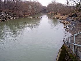
Sugar Creek is a tributary of the Tuscarawas River in northeastern Ohio in the United States. It is 45 miles (72 km) long. Via the Tuscarawas, Muskingum, and Ohio Rivers, it is part of the watershed of the Mississippi River, draining an area of 356 square miles (922 km²) on glaciated and unglaciated portions of the Allegheny Plateau.
Contents
Map of Sugar Creek, Dover, OH, USA
It is the namesake of Sugarcreek, Ohio and of townships in Stark, Tuscarawas and Wayne counties Ohio.
Path of the river
It rises in north-central Wayne County, approximately five miles (8 km) northwest of Smithville, and flows southeastwardly through southwestern Stark County and northwestern Tuscarawas County, past the communities of Smithville, Brewster, Beach City and Strasburg to Dover, where it joins the Tuscarawas River from the west.
Along its course Sugar Creek collects several tributaries that have been given derivative names:
Beach City Dam, in Tuscarawas County southeast of Beach City and just downstream of the mouth of the South Fork, was constructed in 1936 by the United States Army Corps of Engineers for the purpose of flood control.
Name
Sugar Creek was named for the abundant sugar maples along its course. According to the Geographic Names Information System, Sugar Creek has also been known historically as: