
Constructed 15 October 1996 | Length 8.8 km | |
 | ||
Existed: October 15, 1996 – present East end: Rizal Highway, Hermosa, Bataan West end: Subic Bay Freeport Zone, Olongapo, Zambales | ||
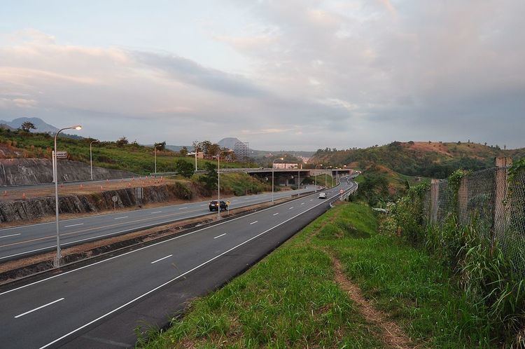
The Subic–Tipo Expressway or the NLEx Segment 7 is a two-lane expressway in the Philippines approximately 8.8 kilometers in length whose alignment traverses the provinces of Zambales and Bataan. Beginning at Rizal Highway, The expressway runs northward traversing the wetlands of the former Naval Exchange going towards Argonaut Highway. The alignment curves to the right as it crosses Argonaut highway and goes up as it enters the Bataan National Park. The alignment then veers on a southeasterly direction traversing the side slopes of the mountain. It then arrives at Hermosa, Bataan where there is a toll plaza and the road forks into two, the left towards Jose Abad Santos Avenue, the right the toll plaza of the Subic–Clark–Tarlac Expressway.
Contents
- Map of Subic Tipo Expy Subic Bay Freeport Zone Zambales Philippines
- Technical specifications
- References
Map of Subic - Tipo Expy, Subic Bay Freeport Zone, Zambales, Philippines
Technical specifications
References
Subic–Tipo Expressway Wikipedia(Text) CC BY-SA