
District Sonepur PIN 767017 Area 2,285 km² Population 17,535 (2001) Area code 06654 | Time zone IST (UTC+5:30) Telephone code 06654 Elevation 121 m Local time Thursday 1:40 PM | |
 | ||
Weather 43°C, Wind W at 14 km/h, 13% Humidity | ||
Sonepur (Odia: ସୋନପୁର), also known as Subarnapur(Odia: ସୁବର୍ଣ୍ଣପୁର), is a town and district headquarters of Subarnapur district of Odisha. The district spreads over an area of 2284.89 km2. It is also known as Second Varanasi of India for its cluster of temples having architectural importance and tantric (sicsic) mystiques. Subarnapur is also famous for silk, handloom, prawns, terracotta etc.
Contents
- Map of Sonepur Odisha 767017
- History
- Demographics
- Education
- Temples of Sonepur
- Notable persons
- Sari
- Politics
- References
Map of Sonepur, Odisha 767017
History
Sonepur was formerly the capital of Sonepur State, a princely state of British India.
Demographics
As of 2001 India census, Sonepur town had a population of 17,535. Males constitute 53% of the population and females 47%. Sonepur has an average literacy rate of 74%, higher than the national average of 59.5%: male literacy is 82%, and female literacy is 65%. In Sonepur, 11% of the population is under 6 years of age.
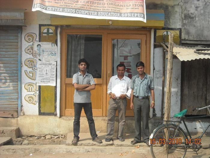
Education
Temples of Sonepur
Notable persons
Sari
Politics
Current MLA from Sonepur (SC) Assembly Constituency is Niranjan Pujari of BJD, who won the seat in State elections in 2014. Previous MLAs from this seat were Binod Patra of INC, who won the seat in 2004, Kunduru Kushal who won this seat representing BJD in 2000, representing JD in 1995 and in 1990, Achyuta Biswal of INC in 1985, Dhaneswar Kumbhar of INC(I) in 1980, and Debraj Seth of JNP in 1977.
Sonepur is part of Balangir (Lok Sabha constituency).