
Elevation 21 m (70 ft) Postal code 22670 Population 2,018 (2013) | District Meriç Time zone EET (UTC+2) Licence plate 22 Area code 0284 | |
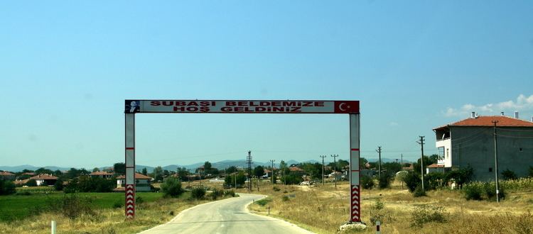 | ||
Subaşı is a belde (town) in Meriç district of Edirne Province, Turkey. At 41°09′N 26°23′E Subaşı is situated 6 kilometres (3.7 mi) from the Greece border. The distance to Meriç is 7 kilometres (4.3 mi) and to Edirne is 90 kilometres (56 mi). The population of Subaşı was 2018 as of 2013. The settlement was founded in the 19th century by Pomak refuges following the Russo-Turkish War (1877-1878) . Later some Yörüks ( Turkmens) also settled in Subaşı. In 1992, Subaşı was declared a seat of township. Main economic activity of Subaşı is agriculture. Rice, wheat, corn, bean and sunflower are the main crops.
Map of Suba%C5%9F%C4%B1, 22670 Suba%C5%9F%C4%B1 Belediyesi%2FMeri%C3%A7%2FEdirne, Turkey
References
Subaşı, Edirne Wikipedia(Text) CC BY-SA