
Country Thailand Time zone THA (UTC+7) Area 1,005 km² Province Ratchaburi Province | Seat Suan Phueng Postal code 70180 Population 30,252 (2000) Geocode 7003 | |
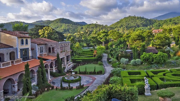 | ||
Points of interest Swiss Valley Hip Resort, Khao Chon Waterfall, The resort water park, Kaeng Som Maew Queen Si, Natural Science Park | ||
Suan phueng ratchaburi thailand
Suan Phueng (Thai: สวนผึ้ง, [sǔa̯n pʰɯ̂ŋ]) is a district (Amphoe) in the western part of Ratchaburi Province, western Thailand.
Contents
- Suan phueng ratchaburi thailand
- Map of Suan Phueng District Ratchaburi Thailand
- History
- Etymology
- Geography
- Administration
- References
Map of Suan Phueng District, Ratchaburi, Thailand
History
Suan Phueng was the rural area of Chom Bueng district. The government sent a group of developing soldiers to the area between 1968-1971. Later it was created to be a minor district (King Amphoe) on November 15, 1974, consisting of the three tambon Suan Phueng, Pa Wai and Ban Bueng. It was officially upgraded to a full district April 1, 1983.
Etymology
The name Suan Phueng (lit. Garden of bees) originates from Phueng trees (Ficus albipila) that are found commonly in the district. In these trees bees (Thai: Phueng) often build their nests.
Geography
Neighboring districts are (from the north clockwise) Mueang Kanchanaburi and Dan Makham Tia of Kanchanaburi Province, Chom Bueng and Ban Kha of Ratchanburi Province. To the west is Tanintharyi Division of Myanmar.
The important water resource is the Phachi River.
Administration
The district is subdivided into 4 subdistricts (tambon), which are further subdivided into 37 villages (muban). There are two subdistrict municipalities (thesaban tambon) within the district - Suan Phueng covers parts of the tambon Suan Phueng, and Ban Chat Pa Wai covers parts of the tambon Pa Wai and Tha Khoei.
The missing numbers are the tambon which now form Ban Kha minor district.