
Elevation 2,575 m | Prominence 1,028 m Parent range Plessur Alps | |
 | ||
Listing Alpine mountains 2500-2999 m Similar Piz Scalottas, Parpaner Rothorn, Piz Danis, Aroser Weisshorn, Lenzerhorn | ||
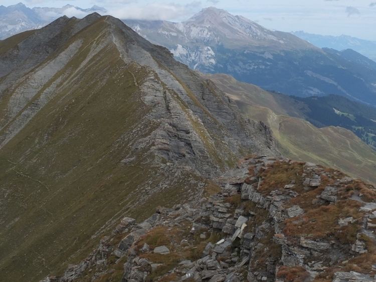
The Stätzerhorn (also known as Piz Raschil) is a mountain of the Plessur Alps, overlooking Lenzerheide in the canton of Graubünden. With an elevation of 2,575 (8,445 ft) metres above sea level, the Stätzerhorn is the culminating point of the range that lies west of the Lenzerheide Pass. Several trails lead to the top from both sides of the mountain. In winter the Stätzerhorn is part of a ski area.
Map of St%C3%A4tzerhorn, 7075 Churwalden, Switzerland
References
Stätzerhorn Wikipedia(Text) CC BY-SA