
Country Germany Admin. region Stuttgart City Stuttgart Area 12.6 km² Dialling code 0711 | State Baden-Württemberg District Stuttgart Elevation 320 m (1,050 ft) Postal code 70499 Administrative region Stuttgart | |
 | ||
11 weilemer rathaussturm 23 februar 2017 stuttgart weilimdorf deutschland
Weilimdorf ( /vaɪlɪmdɔːrf/), until 1955 known as "Weil im Dorf," is the north-western city district (Stadtbezirk) of the German city and capital of Baden-Württemberg, Stuttgart. Weilimdorf, covering an area of 12.6 square kilometres (4.9 sq mi) with a population of around 30,000, borders the Stadtbezirke of Zuffenhausen, Feuerbach, Stuttgart-West, and the towns of Gerlingen, Ditzingen, and Korntal-Münchingen in the Ludwigsburg district. Weilimdorf became part of Stuttgart in 1933 amidst the hardship of the economic instability of the 30's in Germany. The city district is made up by five Stadtteile: Bergheim, Giebel, Hausen, Weilimdorf-Nord and Wolfbusch and is home to an expanding commercial area.
Contents
- 11 weilemer rathaussturm 23 februar 2017 stuttgart weilimdorf deutschland
- Map of Weilimdorf Stuttgart Germany
- Geography
- References
Map of Weilimdorf, Stuttgart, Germany
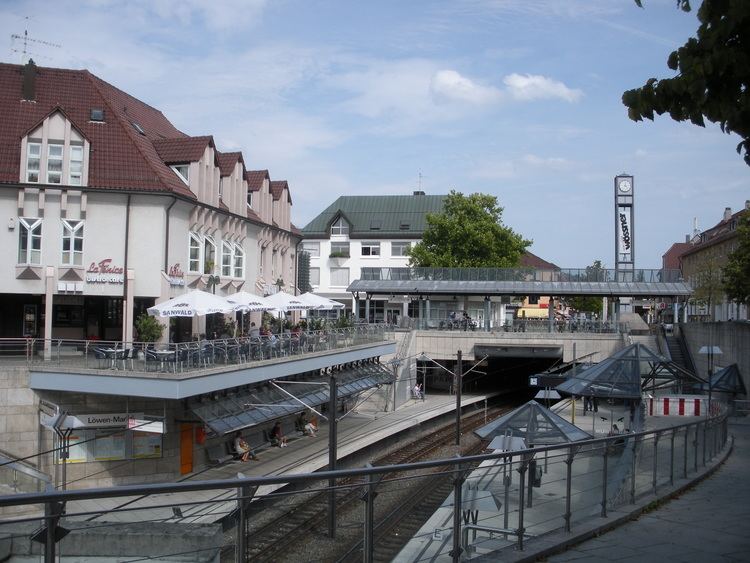
Notable architecture includes Castle Solitude, the 15th Century Oswald Church and the Löwen-Markt, the modern center of Weilimdorf.
Geography
Weilimdorf, located 9.9 kilometres (6.2 mi) from Stuttgart city center, sits on the southeastern edge of the Strohgäu. The district covers an area of exactly 12.585 square kilometres (4.859 sq mi). Of this area, 29.4% of it is occupied by construction, another 12.3% is used by transportation, 3.9% is devoted to parks, forests stand on another 28.2%, and finally, agriculture occupies the final 28.7%.