
Population 1,969 (2011) Sovereign state United Kingdom Local time Thursday 3:50 AM | OS grid reference SY946998 Post town WIMBORNE Dialling code 01258 | |
 | ||
Weather 12°C, Wind S at 14 km/h, 79% Humidity | ||
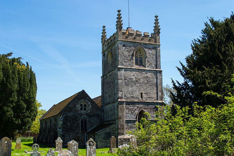
Sturminster Marshall is a village and civil parish in east Dorset in England, situated on the River Stour between Blandford Forum and Poole. The parish had a population of 1,895 at the 2001 census, increasing to 1,969 at the 2011 Census and includes the village of Almer (50.78°N 2.12°W / 50.78; -2.12) west of Sturminster Marshall, near Winterborne Zelston and the hamlet of Henbury to the south-east of the village. The village is twinned with the French commune Sainte-Mère-Église The appropriate electoral ward is called 'Stour'. From Sturminster Marshall the ward goes east to Pamphill, with a total population of 2,582.
Contents
Map of Sturminster Marshall, Wimborne, UK
King Alfred the Great left it in his will of 899, a copy of which can be seen at the British Library, to his youngest son Aethelweard (c.880-922).
Village amenities
Sturminster Marshall has a playing field with a children's playground in one corner. Nearby is the Memorial Hall which offers a meeting-space for many village societies. There is also an old school hall which is also used as a meeting-space.
There are many walks around the village including the Stour Valley Way, which follows the Stour right from the source to the sea.
The village has three pubs: the Red Lion and the Churchill Arms actually within the village, and the Ginger Fox on the outskirts.
The village has a football club, with two senior sides and several youth teams.