
Topo map USGS Oil Springs Easiest route Hike Prominence 161 m | First ascent unknown Elevation 456 m | |
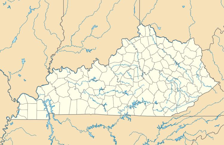 | ||
Location Johnson County, Kentucky, U.S. | ||
Stuffley Knob is the tallest mountain in Johnson County, Kentucky, with a summit elevation of 1,496 feet (456 m) above sea level. The summit is located about eight miles west of Paintsville at 37°46′59″N 82°55′13″W, just off of U.S. Route 460.
Map of Stuffley Knob, Kentucky 41219, USA
References
Stuffley Knob (Johnson County, Kentucky) Wikipedia(Text) CC BY-SA