
OS grid reference ST970711 Local time Thursday 1:41 AM | Sovereign state United Kingdom Postcode district SN11 Dialling code 01249 | |
 | ||
Weather 13°C, Wind S at 19 km/h, 82% Humidity | ||
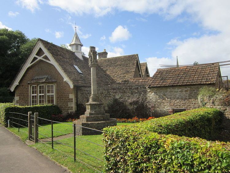
Studley is a small village in the county of Wiltshire, England, belonging to the civil parish of Calne Without.
Contents
Map of Studley, Calne, UK
Geography
Studley is 4 km (2.5 mi) west of Calne, 5.5 km (3.4 mi) east of Chippenham and 25 km (16 mi) east of the city of Bath. It lies adjacent to the A4 national route.
The Cocklemore Brook rises near the village.
Previously, the Calne branch of Wilts & Berks Canal ran just north of the village; it's due to be restored further south, crossing the village.
Nearby villages include Derry Hill, Bremhill, Pewsham, Stanley and Tytherton Lucas.
History
An ancient road between Salisbury and Bristol passed by the village location, and there was probably some early form of settlement. There were certainly Roman and Romano-British settlements in this area; because of the forested nature of the area, settlements have always been scattered. Studley itself is mentioned in 1175 and 1196, and it was closely associated with Stanley Abbey in Bremhill parish, until its dissolution in 1540. Villagers are likely to have used the church at the abbey; since 1540, and until the new parish church was built at Derry Hill in 1840, they had to travel to Bremhill for the church services. A non-conformist chapel was built at the north end of Studley Lane in 1855.
There was a manor house in 1240 that was demolished between 1773 and 1800, and replaced by Studley House Farm. The new manor house is from the 18th century.
It's possible that a fulling mill existed in the early 13th century at the start of a local cloth industry. One was certainly standing in 1602, and by the middle of the 17th century, Hassell’s Mill on the river Marden was replaced by New Mill. This was converted to a corn mill in 1728, and continued working until the mid-20th century, being demolished in 1962.
The oldest surviving cottages are of stone and thatch, built in the 17th century. Between 1745 and 1848 there stood the Black Dog Inn, which gave its name to the hill, and later to Black Dog Halt railway station of the Chippenham and Calne Line, at the east end of the village. In 1761 a new pub called the Rose and Crown was opened; renamed the Soho Inn by 1830, it still serves as the village pub. As of October 2016, it is being refurbished and will re-open as The Black Dog Inn.
There was further building throughout the 19th century, chiefly along the roads and lanes, and even more houses appeared in the 20th century. Nevertheless, the community has remained scattered, largely agricultural with grassland, arable and woodland. The houses had no mains drainage, gas or electricity until after the Second World War.