
Country United States County Modoc County Local time Wednesday 9:49 AM | State California Elevation 1,230 m | |
 | ||
Weather 8°C, Wind SE at 8 km/h, 73% Humidity | ||
Stronghold is an unincorporated community in Modoc County, California. It is located on the Southern Pacific Railroad, 3 miles (4.8 km) northwest of Newell, at an elevation of 4035 feet (1230 m).
Contents
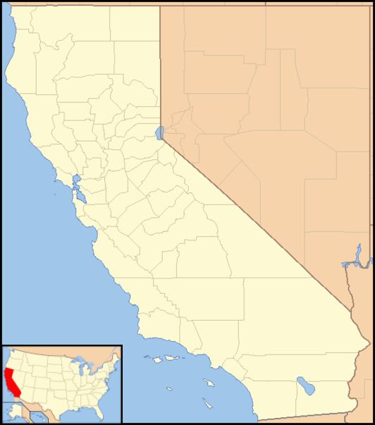
Map of Stronghold, CA 96134, USA
Stronghold is located near the Oregon border. The ZIP Code is 96134. The community is inside area code 530.
Its coordinates are 41°54′20″N 121°24′35″W at 4,035 feet (1,230 m) elevation. The place was named for Captain Jack's Stronghold held by the Modoc in 1872 and 1873 during the Modoc War, at the nearby Lava Beds National Monument.
Politics
In the state legislature, Stronghold is in the 1st Senate District, represented by Republican Dave Cox, and in the 2nd Assembly District, represented by Republican Jim Nielsen.
Federally, Stronghold is in California's 1st congressional district, represented by Republican Doug LaMalfa.