
OS grid reference SU695598 Sovereign state United Kingdom Local time Wednesday 3:37 AM District Basingstoke and Deane | Civil parish Stratfield Turgis Post town HOOK Dialling code 01256 | |
 | ||
Weather 12°C, Wind SW at 27 km/h, 87% Humidity | ||
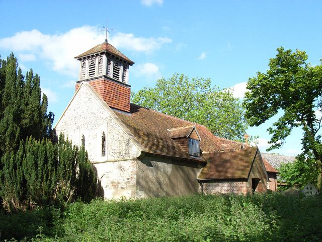
Stratfield Turgis is a small village and civil parish in the north-east of the English county of Hampshire.
Contents
Map of Stratfield Turgis, Hook, UK
History
The name of Stratfield Turgis derives from its origins on open land (Old English feld) by the Roman road (Old English stræt) from Silchester to London, and the Turgis family, who held the manor of the de Ports and St. Johns from as early as 1270.
Governance
The village of Stratfield Turgis is part of the civil parish of Stratfield Turgis, and is part of the Pamber and Silchester ward of Basingstoke and Deane borough council. The borough council is a Non-metropolitan district of Hampshire County Council. According to the Post Office at the 2011 Census the population was included in the civil parish of Hartley Wespall.
Geography
Stratfield Turgis is located on the main A33 between Reading and Basingstoke at 51°20′N 1°0′W. It comprises the hamlets of Spanish Green and Turgis Green together with Stratfield Turgis itself and surrounding outlying farms.
Sport and leisure
Stratfield Turgis & Hartley Wespall Cricket Club play at Turgis Green.