
- summer (DST) CEST (UTC+2) Area 17.66 km² | Elevation 798 m Local time Wednesday 10:31 PM | |
 | ||
Weather 6°C, Wind W at 23 km/h, 93% Humidity Points of interest Labská soutěska, Lom Strážné, Herlíkovické štoly | ||
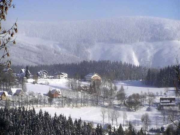
Strážné (German: Pommerndorf) is a village in the Czech Republic.
Contents
Map of Str%C3%A1%C5%BEn%C3%A9, Czechia
History
The first written mention of Pommerdörfl dates from the year 1754. The town has had mining operations since the mid-17th century, as there has been a miner settlement and a Pochwork to Keilbach above the old Silesian Trail. The name of the village derives not, as a legend claims from local founders, but from the mining activity.
Strážné is a small community; nearby towns are Friesovy Boudy (Friesbauden), Herlíkovice (Hackelsdorf), Hříběcí Boudy (Füllebauden), Husí Boudy (Gansbauden), Jezerní Domky (Teichhäuser), Krásná Pláň (Schöne Lahn), Lahrovy Boudy (Lahrbauden), Mlýnské Domky (Mühlberg) Well Výhlédach (Höhenschmiede), Přední Rennerovky (Vorder Rennerbauden), Seidlovy Domky (Seidelhäuser), Šestidomí (Sächsstädten) and Zadní Rennerovky (Hinter Rennerbauden).