
Elevation 3 m | Reference no. 826 Local time Tuesday 1:51 PM | |
 | ||
Weather 26°C, Wind NW at 21 km/h, 11% Humidity | ||
Hike to the top of death valley sand dunes stovepipe wells california
Stovepipe Wells is a small way-station in the northern part of Death Valley, in unincorporated community Inyo County, California.
Contents
- Hike to the top of death valley sand dunes stovepipe wells california
- Map of Stovepipe Wells CA 92328 USA
- Death valley mosaic canyon stovepipe wells california
- Geography and names
- Climate
- History
- Facilities
- Nearby features
- References
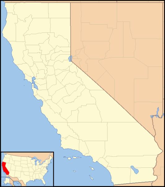
Map of Stovepipe Wells, CA 92328, USA
Death valley mosaic canyon stovepipe wells california
Geography and names
Stovepipe Wells is located at 36°36′22″N 117°08′47″W and is US Geological Survey (USGS) feature ID 235564. It is entirely inside Death Valley National Park and along State Route 190 (SR190) at less than 10 feet (3.0 m) above sea level. West on SR190 is Towne Pass at about 4,950 feet (1,510 m) above sea level. Eventually, the road meets Panamint Valley Road at Panamint Junction in the Panamint Valley. East on SR190 the road leads to Furnace Creek and Death Valley Junction.
Variant names listed for the Inyo County location by USGS include Stove Pipe Wells Hotel and Stovepipe Wells Hotel. The US Postal Service ZIP Code is 92328, and the locale name is spelled Stove Pipe Wells in some postal renditions. It is commonly referred to as Stovepipe Wells Village.
Climate
According to the Köppen Climate Classification system, Stovepipe Wells has a hot desert climate, abbreviated "BWh" on climate maps. Its average high temperature is greater than 100 °F from June through September.
History
The first temporary settlement at Stovepipe Wells came into being when a road between Rhyolite and Skidoo was begun in 1906 to ameliorate the approach to the mine at Skidoo. A collection of tents was erected to serve travelers with food, drink and lodging.
In 1925, entrepreneur Bob Eichmann began construction of the hotel at Stovepipe Wells, along with a scenic toll road through Death Valley. This marked the beginning of the transition from mining community to tourist destination.
The settlement is now registered as California Historical Landmark #826.
Facilities
Stovepipe Wells Village is home to the Stovepipe Wells Hotel, a full-service hotel with swimming pool. The General Store offers sundries and food, and is adjacent to a gas station. Stovepipe Wells Village also houses the Badwater Saloon and Toll Road restaurant, The Nugget Gift Shop and a ranger station.
The default format for wired telephone numbers in the community is in the Death Valley exchange: (760) 786-xxxx. The community had manual telephone service until the late 1980s.
The community is contained within the Great Basin Unified Air Pollution Control District.