
Prominence 420 m | Elevation 565 m Parent peak Vassfjellet | |
 | ||
Isolation 15.73 kilometres (9.77 mi) Similar Gråkallen, Geitfjellet, Vassfjellet, Dåapma, Resfjellet | ||
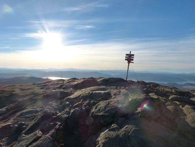
Storheia is the highest mountain in Bymarka in the municipality of Trondheim in Sør-Trøndelag county, Norway. The 565-metre (1,854 ft) tall mountain lies about 3 kilometres (1.9 mi) east of the village of Langørjan. On clear days, one can stand atop Storheia and see as far as the mountain Snøhetta, about 130 kilometres (81 mi) away.
Contents
Map of Storheia, 7070 Bosberg, Norway
Name
The first element is stor which means "big" and the last element is the finite form of hei which means "upland" or "hill".
References
Storheia Wikipedia(Text) CC BY-SA