
Surface area 2.12 km (0.82 sq mi) Surface elevation 11 m Shore length 7.9 km | Max. depth 42 metres (138 ft) Area 212 ha | |
 | ||
Max. length 2.7 kilometres (1.7 mi) Max. width 1.6 kilometres (0.99 mi) Reference Norwegian Water Resources and Energy Directorate | ||
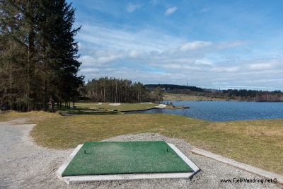
Stora Stokkavatnet is a lake in the municipality of Stavanger in Rogaland county, Norway. The 2.12-square-kilometre (0.82 sq mi) lake lies just west of the city centre of Stavanger. The lake lies in the northwest part of the municipality and it forms the boundary of the boroughs of Tasta (to the north), Eiganes og Våland (to the east), and Madla (to the south and west).
Map of Store Stokkavatnet, Stavanger, Norway
From 1931 until 1959, this lake was the reservoir for the city's drinking water. Since 2009, the lake has been the back-up water supply.
References
Stora Stokkavatnet Wikipedia(Text) CC BY-SA