
- elevation 2,856 ft (871 m) | - elevation 200 ft (61 m) | |
 | ||
- location 20 miles (32 km) northeast of Sleetmute | ||
The Stony River is a 190-mile (310 km) tributary of the Kuskokwim River in the U.S. state of Alaska. The river flows south from near Mount Mausolus in the Revelation Mountains of the Alaska Range through the northwestern corner of Lake Clark National Park and Preserve. From there, it flows generally westward to meet the larger river at the community of Stony River.
Contents
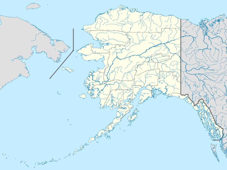
Map of Stony River, Alaska, USA
BoatingEdit
The Stony River, floatable by kayak, canoe, and small to medium raft, is "suitable for moderately experienced boaters with good wilderness skills." The river varies in difficulty from Class I (easy) to II (medium) on the International Scale of River Difficulty. Dangers include rocky rapids in the 19 miles (31 km) of stream passing through canyons, where standing waves may reach up to 8 feet (2.4 m) in high water.