
Country United States County Wood Area 4.4 km² Population 411 (2010) Area code 419 | State Ohio Time zone Eastern (EST) (UTC-5) Zip code 43463 Local time Tuesday 12:00 PM | |
 | ||
Weather 8°C, Wind N at 18 km/h, 81% Humidity | ||
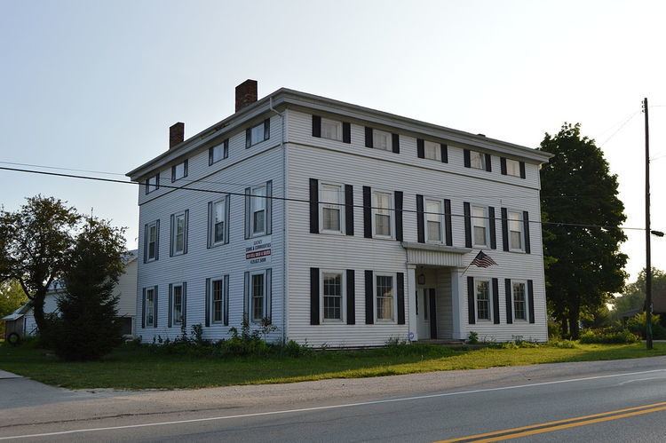
Stony Ridge is a census-designated place (CDP) in northwestern Troy Township, Wood County, Ohio, United States. As of the 2010 census, it had a population of 411. Although it is unincorporated, it has a post office, with the ZIP code of 43463.
Contents
Map of Stony Ridge, OH 43551, USA
History
Stony Ridge was platted in 1872, and named for the stony terrain of the original town site. A post office called Stony Ridge has been in operation since 1837.
Geography
It is located along the concurrent U.S. Routes 20 and 23, at Stony Ridge Road and East Broadway. It contains a branch of the Pemberville Public Library, a community park, Stony Ridge United Methodist Church, and St. John's Lutheran Church.
According to the U.S. Census Bureau, the CDP has an area of 1.7 square miles (4.4 km2), all land.
References
Stony Ridge, Ohio Wikipedia(Text) CC BY-SA